Geodynamic processes and mountain building
![]()
![]()

Geodynamic processes and mountain building
![]()
![]()
"Not only is it easy to lie with maps, but it's essential. To portray meaningful relationships for a complex three-dimensional world on a flat sheet of paper or a screen, a map must distort reality. (...) To avoid hiding critical information in a fog of detail, a map must offer a selective, incomplete view of reality. There is no escape from the cartographic paradox: to present a useful and truthful picture, an accurate map must tell white lies.." M. Monmonier, 2018, How to Lie with Maps, The University of Chicago Press
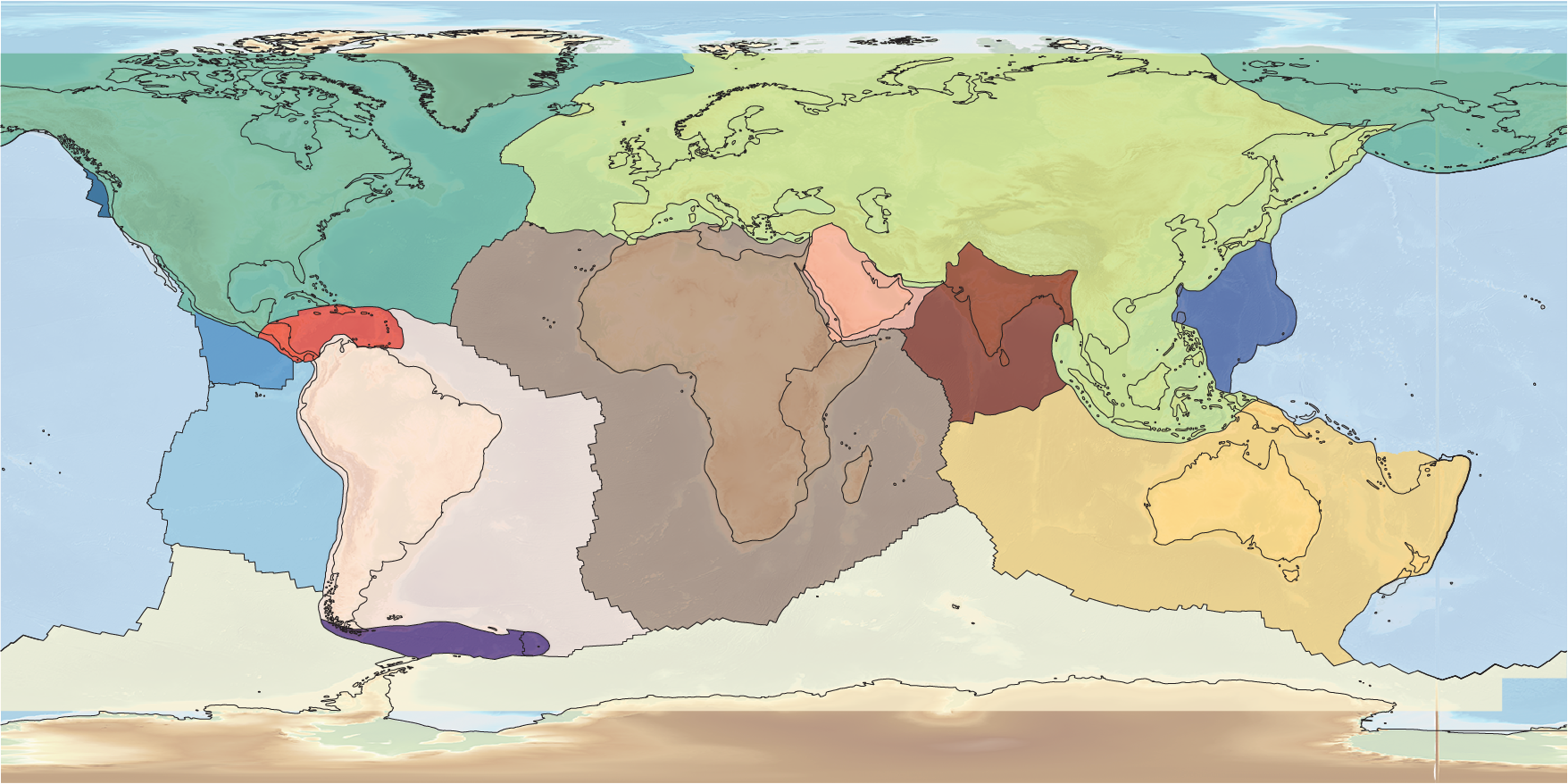
Maps are an integral part of geology. GIS systems today allow us to design various maps at multiple scales.
If you have any ideas, new maps, don't hesitate to write us here. If, like us, you like maps, you can also consult the site of the Commission of the Geological Map of the World (CGMW).
Global maps to provide information on the dynamics of the Earth system
Regional maps to accompany you in the field